



Routes and Map
Full System Network
Browse routes by city, see the whole network on one map, and check live departures before you go.

See the whole network
Every route on one interactive map. Zoom in to your neighbourhood or track a bus across the region in real time.
Plan and track in real time
Plan a trip with Google Maps, or see next departures for your bus stop.
Find routes in your city
Every local network and cross-city connection, organized by area. Pick yours to see its routes, schedules and terminal maps.
Intermunicipal Routes
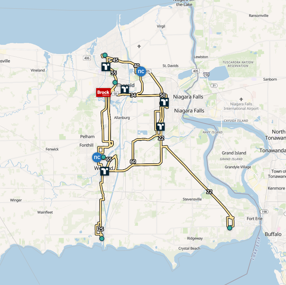
Routes 22 – 75
Connections linking Fort Erie, Niagara Falls, Port Colborne, Welland, St. Catharines, Brock University and Niagara College.
St. Catharines and Thorold
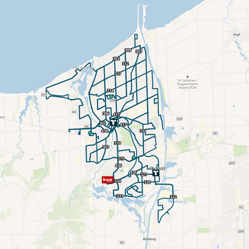
300- and 400-series
Local network covers St. Catharines and Thorold. 300-series routes run by day; 400-series routes take over at night.
Niagara Falls
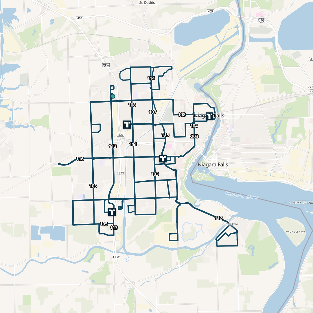
100- and 200-series
Local service across Niagara Falls, connecting neighbourhoods and multiple bus hubs.
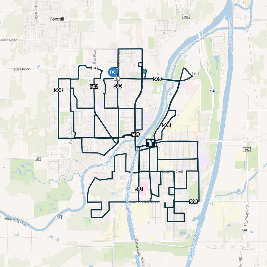
Welland
500-series
Local routes linking Welland’s neighbourhoods, the bus terminal and the Niagara College campus.
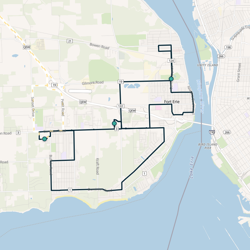
Fort Erie
Route 751
Fort Erie’s local bus connects key stops across town, with intermunicipal Route 22 linking you to Niagara Falls.
Take the schedule with you
Everything on this page fits in your pocket. The free Transit app plans trips, tracks your bus in real time and sells mobile tickets. Download it from the App Store or Google Play.
Not sure which route you need?
Call us. A real person will help you find the right route and the next bus.
Mon–Sat 7 a.m.–7 p.m. · Sun & holidays 10 a.m.–6 p.m.